WINDCO: Precursor to McIDAS (WINDCO)
Dr. Suomi obtained funding from NASA and NOAA to implement a proof-of concept system dedicated to measuring and visualizing cloud drift winds. The new computer system had to allow the user to specify the image coordinates of a cloud in at least three successive images. Since the digital images were stored on computer tape, some method was required to map and display coordinates to and from tape. The proof-of-concept system used to demonstrate winds processing was called WINDCO (Lazzara, 1999). WINDCO was a precursor to the Man computer Interactive Data Access System (McIDAS).
Investigators
- Dr. Verner E. Suomi Space Science and Engineering Center (SSEC)
Related Websites
Publications
-
Phillips, D. and Smith E. WINDCO: An interactive system for obtaining accurate cloud motions from geostationary satellite spin scan camera pictures. Meteorological measurements from satellite platforms: Annual scientific report on NASA contract NAS5-11542, 1970-1971. University of Wisconsin-Madison, Space Science and Engineering Center, Madison, WI, 1972, pp.1-51. v, 270p, UW SSEC Publication No.72.02.M1.
-
Schwalenberg, Terry. The Windco display system. Studies of the atmosphere using aerospace probes: Annual report on NOAA grant 1-36036, 1972. University of Wisconsin-Madison, Space Science and Engineering Center, Madison, WI, 1972, pp.1-15. UW SSEC Publication No.72.12.S1.
-
The WINDCO system. Madison, University of Wisconsin-Madison, Space Science and Engineering Center, 1971. 6p. UW SSEC Publication No.71.10.W1.
Images
-
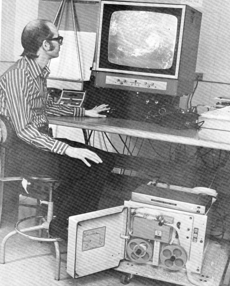
McIDAS First Generation, user at the WINDCO terminal
University of Wisconsin Communications -
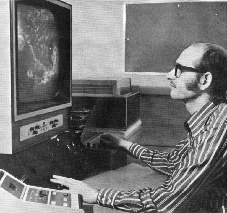
McIDAS First Generation, user at the WINDCO terminal
University of Wisconsin Communiations

